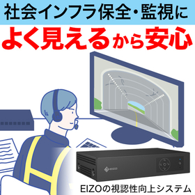
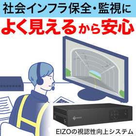
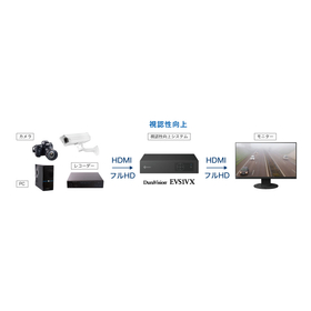
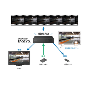
Enhancing aerial footage for better visibility and clarity. It improves the visibility for understanding terrain and confirming situations.
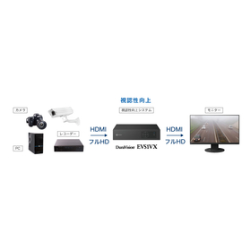
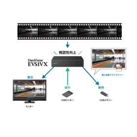
In the drone and aerial photography industry, it is essential to accurately capture the details of the terrain without being affected by the shooting environment or weather conditions. Particularly in extensive surveys or when verifying complex terrains, the visibility of the footage directly impacts the accuracy of the work. If the footage is unclear, there is a risk of overlooking terrain undulations or obstacles. EIZO's visibility enhancement system, "DuraVision EVS1VX," can be connected to existing video transmission systems via HDMI, allowing for real-time correction of the footage and improved visibility.
【Usage Scenarios】
- Wide-area terrain surveys and surveying tasks using drones
- Situational awareness from above at disaster sites
- Reviewing footage in environments with low visibility, such as forests and mountainous areas
【Benefits of Implementation】
- Improved visibility of the footage allows for more accurate verification of terrain undulations and details
- Observers and operators can more easily detect anomalies or changes
- When used in conjunction with AI analysis, an improvement in detection accuracy can be expected.